Our Idaho Gold Maps show there are currently 25,158 active gold claims and 180,341 abandoned gold claims located throughout the state. Of those active claims, 22,397 are lode claims and 2,761 are placer claims. Of those abandoned claims, 160,623 are lode and 19,718 are placer. Idaho’s active gold claims represent about 5.7% of all active gold claims in the lower 48 states.
-
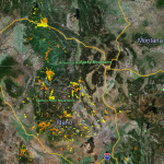
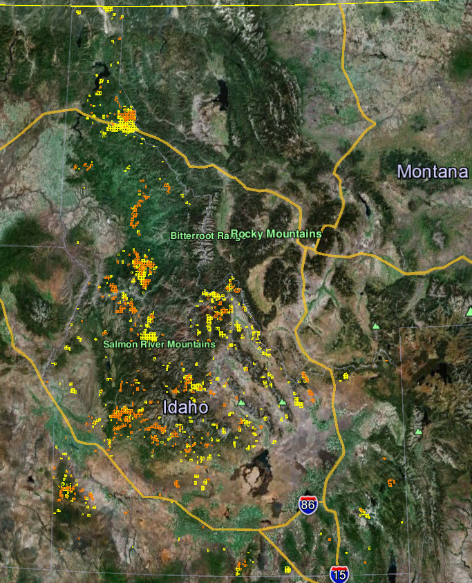
- When first opening the Idaho gold map you see a satellite view of the state boundaries with yellow and orange clusters. Those yellow (lode claims) and orange (placer claims) clusters represent very high concentrations of active gold mining claims. This revealing view of these clusters gives us a very accurate idea of where most of Idaho’s gold is being mined. Paper maps simply don’t offer this much insight into Idaho’s mining activity.
-
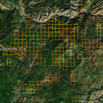
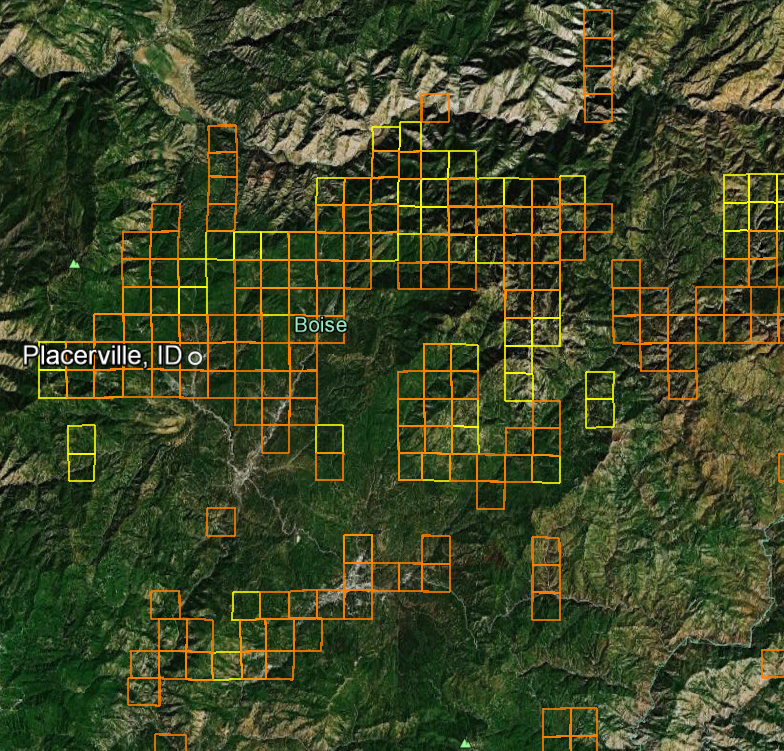
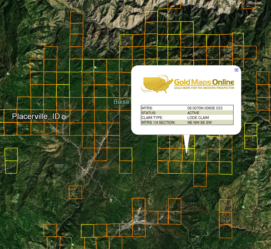
- Now zoom in about 27 miles NE of Boise City to a little resort town called Placerville Idaho. You can clearly see the active lode (yellow) and active placer (orange) gold claims boundaries throughout the area. You are now on public land in the Boise National Forest. That means you can find dozens of non-claimed gold Prospecting sites for you and your family to try your luck at. Our customers routinely save $100’s in gas alone by knowing exactly where to start their search.
-
- Zoom in further still and you can click on the active placer or active lode claims for the MTRS number to determine ownership and other information about the claim(s). This information is for professionals that have experience with mining claims. Recreational gold panners should not try to contact claim holders and should stay away from claimed properties. You can read more about how to use the MTRS numbers on our Viewing Tips page.
-
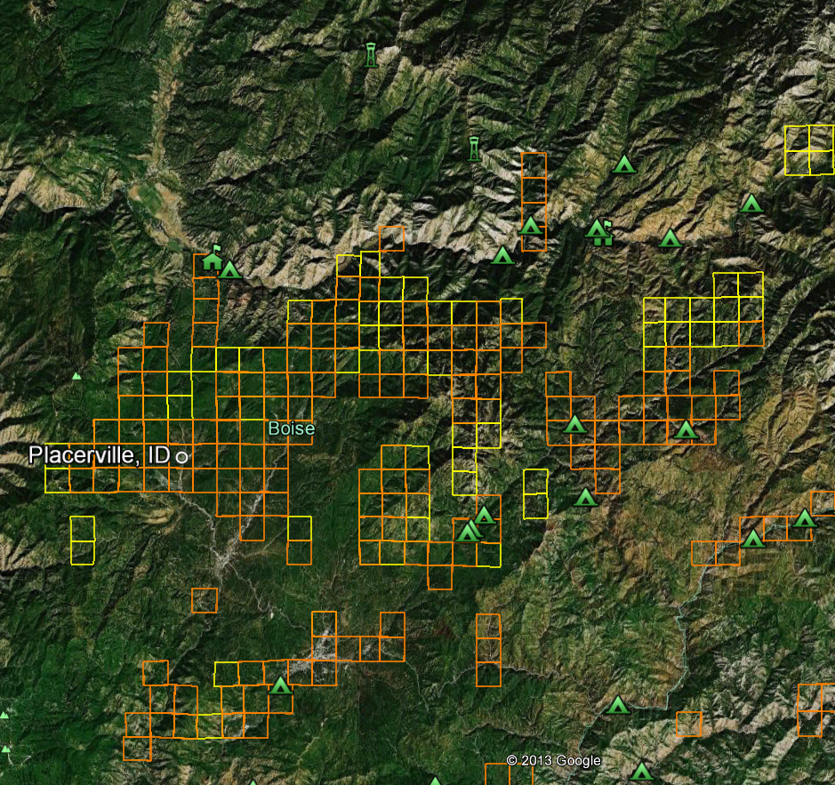
- Still looking at the Placerville area, turn on the Google Earth™ overlay entitled Parks and Recreation found within the More overlay. Now you can see dozens of Boise National Forest campgrounds, ranger stations, hiking trails, hotels and stores. You can zoom in further still to get a birds-eye view of roads, creeks and other points of interest. Using Google Earth™ satellite imagery, altitude and distance measuring tools will eliminate most surprises like, “I didn’t know that hill was so steep.”
Idaho Gold Maps Note: None of the Idaho images above show just how close you can zoom in to see gold prospecting sites. You’ll be amazed at how crisp the satellite imagery is and how much exploring and planning you can do from the comfort of your home. Google Earth™ is a free download.