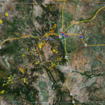
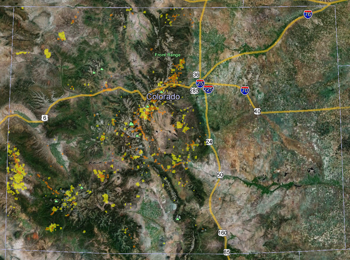
Our Colorado Gold Maps show there are currently 14,515 active gold claims and 263,948 abandoned gold claims located throughout the state. Of those active claims, 13,090 are lode claims and 1,425 are placer claims. Of those abandoned claims, 242,516 are lode and 21,432 are placer. Colorado’s 14,515 active gold claims represent about 3.3% of all active gold claims in the lower 48 states.
-
- When you first open the California gold map you will see a satellite view of the state boundaries with yellow and orange clusters throughout. Those yellow (lode claims) and orange (placer claims) clusters represent high concentrations of active gold mining claims. This view of these yellow and orange clusters gives us an incredibly precise look at where most of California’s gold is being found on a daily basis. This near real-time look at these gold bearing areas is simply not possible with traditional fold-out paper maps.
-
- Now zoom in about 90 miles NE of Sacramento to a little resort town called Bucks Lake. You can clearly see the active lode and placer mining claims boundaries throughout the area. You are now on public land in the Plumas National Forest. That means you can find dozens of non-claimed public gold prospecting locations for you and your family to try. Our maps routinely save our customers at least $200 in gas alone by showing them exactly where to go.
-
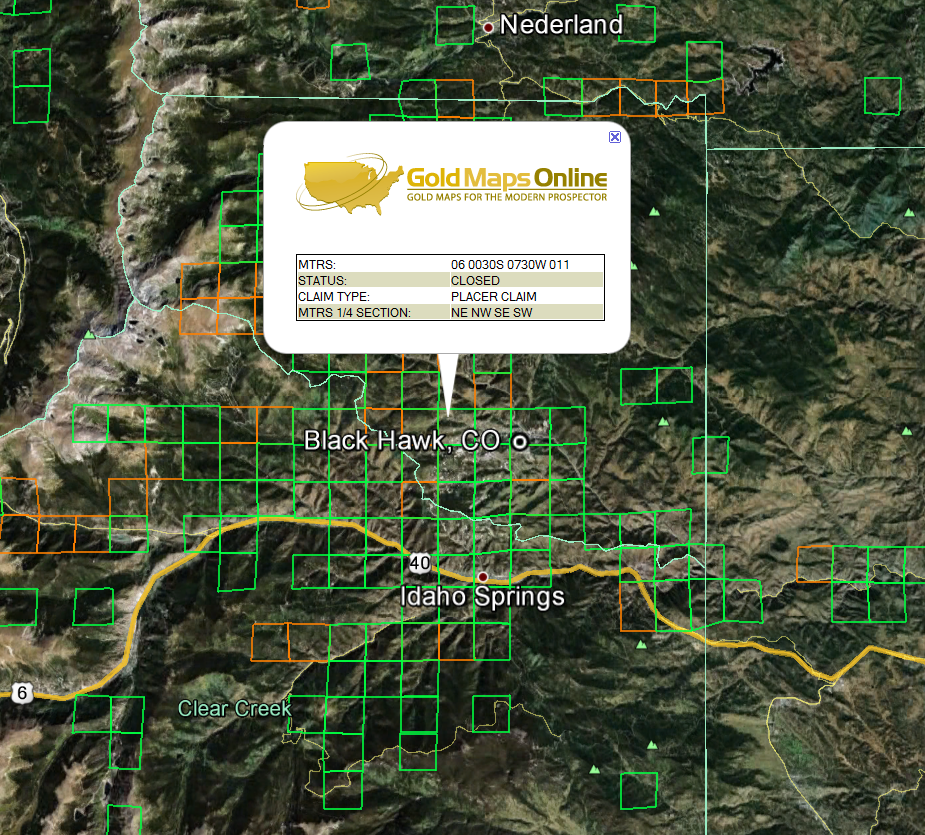
- Zoom in further and you can click on the active placer or lode claims for the MTRS number to determine ownership and other information about the claim(s). This information is for professionals with experience in the claiming process. Recreational gold panners should not try to contact claim holders and should always stay away from claimed property. You can read more about how to use the MTRS numbers on our Viewing Tips page.
-
- Still looking at the Bucks Lake area, turn on the Google Earth™ overlay entitled Parks and Recreation found within the More overlay. Now you can see Plumas National Forest campgrounds, ranger stations, hiking trails, fire watchtowers and more. You can zoom in further still to get a close-up view of roads, creeks and other points of interest. Using Google Earth™ satellite imagery, altitude and distance measuring tools will eliminate most surprises like, “I didn’t know that hill was so steep.”
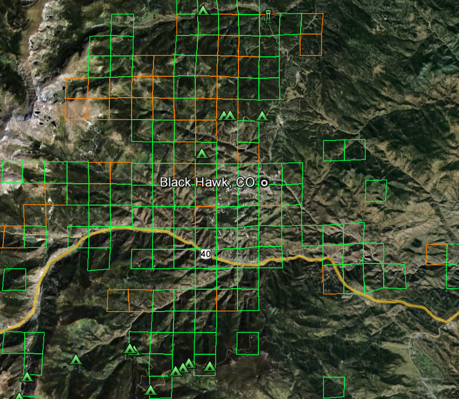
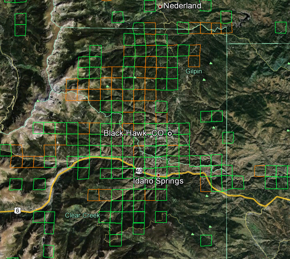
Colorado Gold Maps Note: None of the Colorado images above show just how close you can zoom in and see potential gold panning locations. You’ll be amazed at how crisp the satellite imagery is and how much exploring and planning you can do from the comfort of your home. And don’t forget, Google Earth™ is a free download and must-have tool for all gold prospectors.