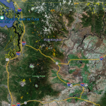
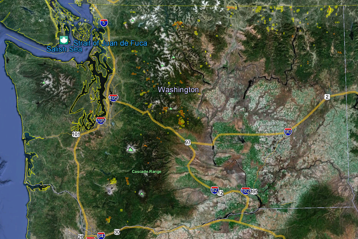
Our Washington Gold Maps show there are currently 3,041 active gold claims and 52,397 abandoned gold claims located throughout the state. Of those active claims, 2,744 are lode claims and 297 are placer claims. Of those abandoned claims, 48,820 are lode and 3,577 are placer. Washington’s active gold claims represent less than .6% of all active gold claims in the lower 48 states.
-
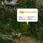
- When you first open the South Dakota gold map you will see a satellite view of the state with little yellow (lode claims) and orange (placer claims) clusters throughout the west-southwest part of the state. Those clusters represent areas where you’ll find high concentrations of active gold mining claims. This view of these clusters gives us an incredibly precise view of where most of South Dakota’s gold is being found today. You simply can’t get this much insight looking at a paper gold map.
-
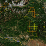
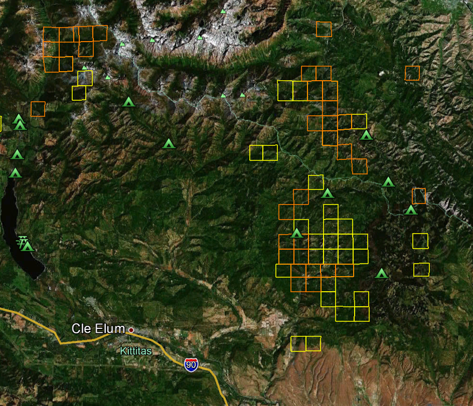
- Now zoom in about 30 miles southwest of Rapid City to a small town called Custer South Dakota. You can clearly see the active lode and active placer gold mining claim boundaries throughout the area. You are now on public land in the Black Hills National Forest. That means you can find dozens of non-claimed gold prospecting sites for you and your family to try your luck at. Our customer’s routinely save $100’s a year in gas alone by knowing exactly where to find gold.
-
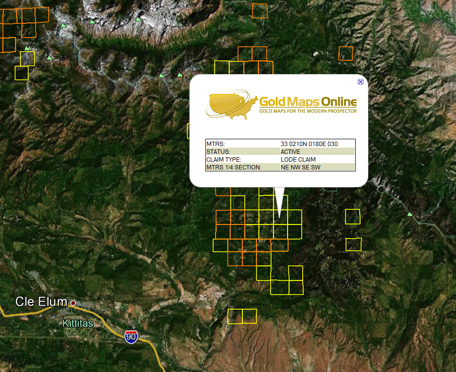
- Zoom in further still and you can click on the active placer or active lode claims for the MTRS code to determine ownership and other information about the claim(s). This information is for professionals that have experience with mining claims. Recreational gold panners should not try to contact claim holders and should stay away from claimed properties. You can read more about how to use the MTRS numbers on our Viewing Tips page.
-
- Still looking at the Custer area, turn on the Google Earth™ overlay entitled Parks and Recreation found under the More overlay. Now you can see Black Hills National Forest campgrounds, ranger stations and more. You can zoom in further still to get a birds-eye view of roads, creeks and other points of interest. Using Google Earth™ satellite imagery, altitude and distance measuring tools will eliminate most surprises like, “I didn’t know that hill was so steep.”
Washington Gold Maps Note: None of the Washington images above show just how close you can zoom in to see gold prospecting locations. You’ll be amazed at how crisp the satellite imagery is and how much exploring and planning you can do from the comfort of your home. Google Earth™ is a free download.